The Archaeological Museum of Alicante inaugurated this morning the exhibition "175th Anniversary of the official Cartography. The Map of Spain"which aims to raise awareness of the work carried out by the National Geographic Institute (IGN) from its foundation in 1870 to the present day. The exhibition will remain in the centre's library until 17 November.
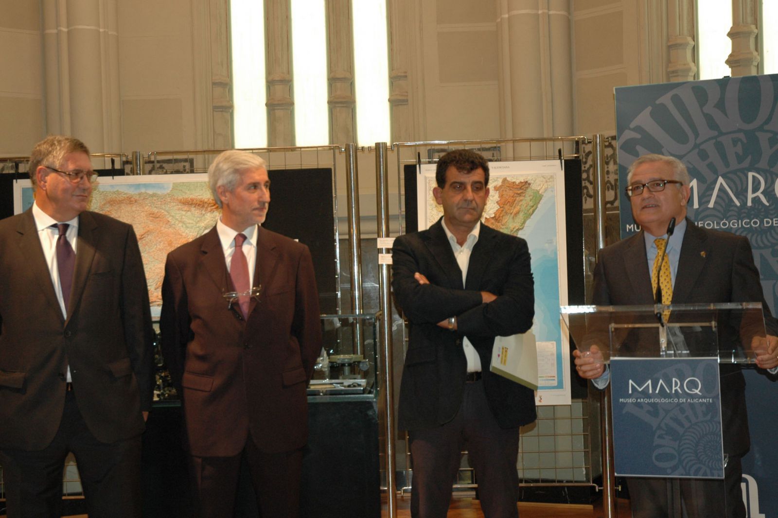
The Deputy for Culture, César Augusto Asenciopresented the exhibition together with the government delegate in Alicante, Alberto Martínezthe museum's technical director, Manuel Olcinathe director general of the NGI, Amador Elena Córdobaand the regional director of the IGN in the Comunitat Valenciana and curator of the event, Emilio Benítez. The deputy highlighted the great work carried out by this organisation during its almost a century and a half of existence. "This discipline has a lot to do with day-to-day life, in fact cartography, and the cartography of Spain in particular, is an essential factor in the progress and management of public resources."said Asencio.
The exhibition, organised by the University of Valenciathe National Geographic Institutethe Government Delegation in the Valencian Community and the Ministry of DevelopmentThe exhibition is made up of 18 panels that review the history of this institution and some of the different projects carried out. The contents start with the exhibition of the Decree of 23 November 1840, which led to the creation of the map of Spain, promoted by the geographer Fernán Caballero. Thirty years later, on a proposal from José EchegarayING, a leading organisation from which the work necessary for the production of this charter was derived, starting with the determination of shape and dimensions of the Earth.
Other blocks of the exhibition are dedicated to Tide gauge of Alicante, to the Spanish Seismic Network, al Topographical map National or to detail data on the research carried out at the Royal Astronomical Observatory of Madrid. The exhibition also highlights the coordinating facet of the centre through the National Atlas, in digital format since 2004. Visitors can also find out about the services of Map library, Photo library and the National Centre for Downloadswhere it is possible to obtain all the historical and current publications, available from the organisation's website. Finally, there is a series of complementary panels with old instruments and explanatory content on the workings of the Institute.