ARCHEOLOGICAL SITES
TOSSAL DE MANISES
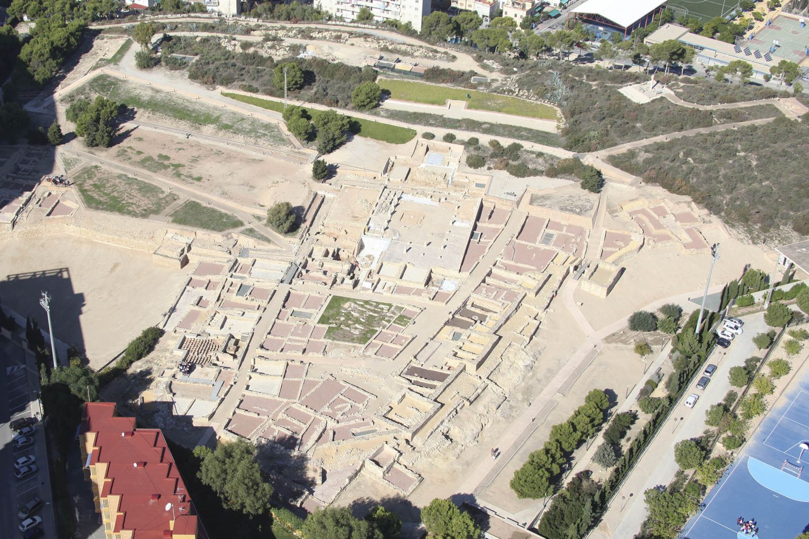
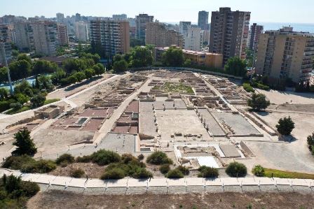
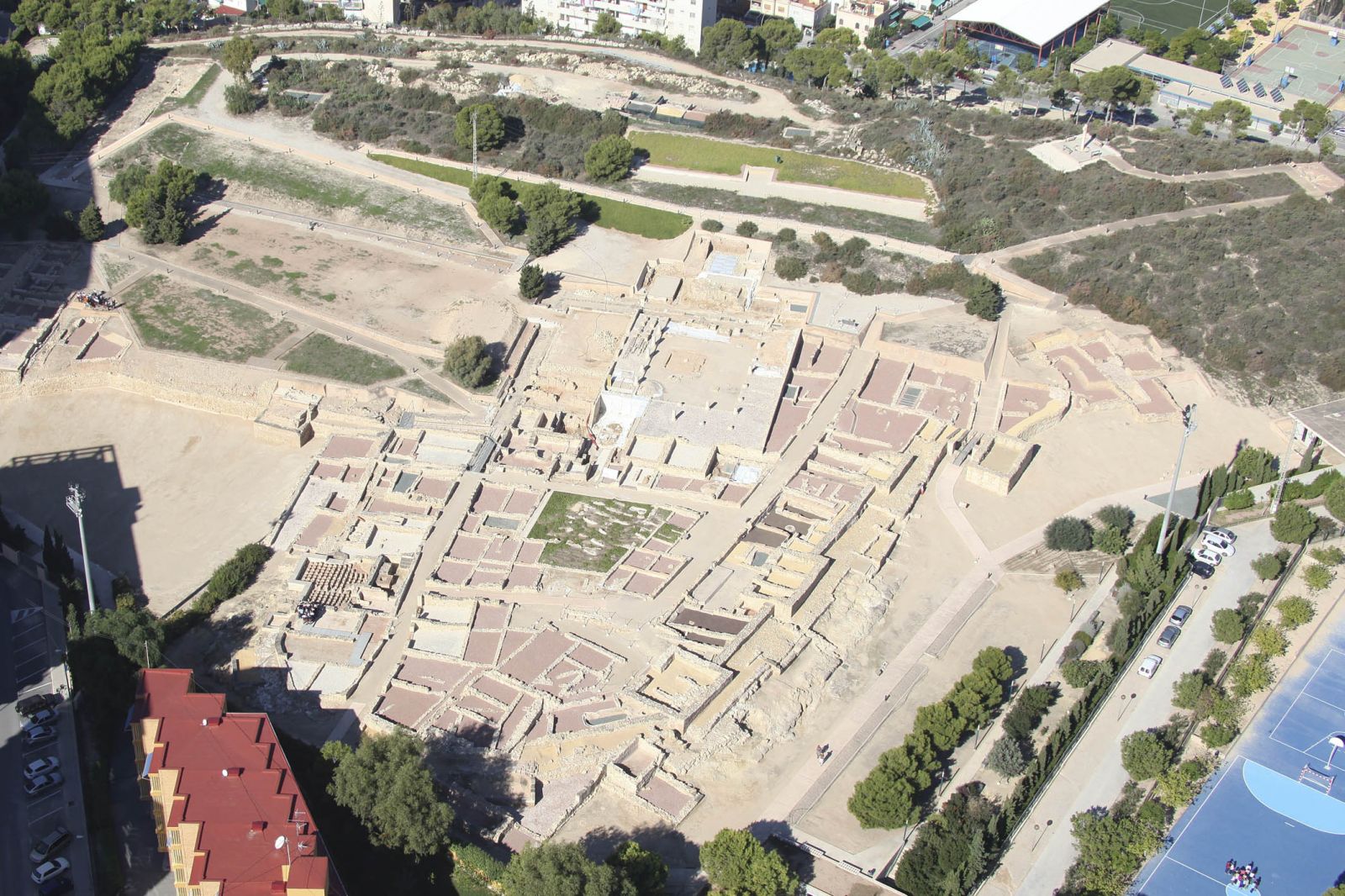
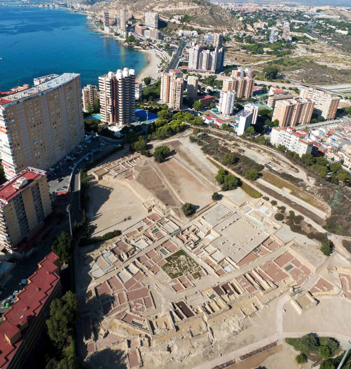
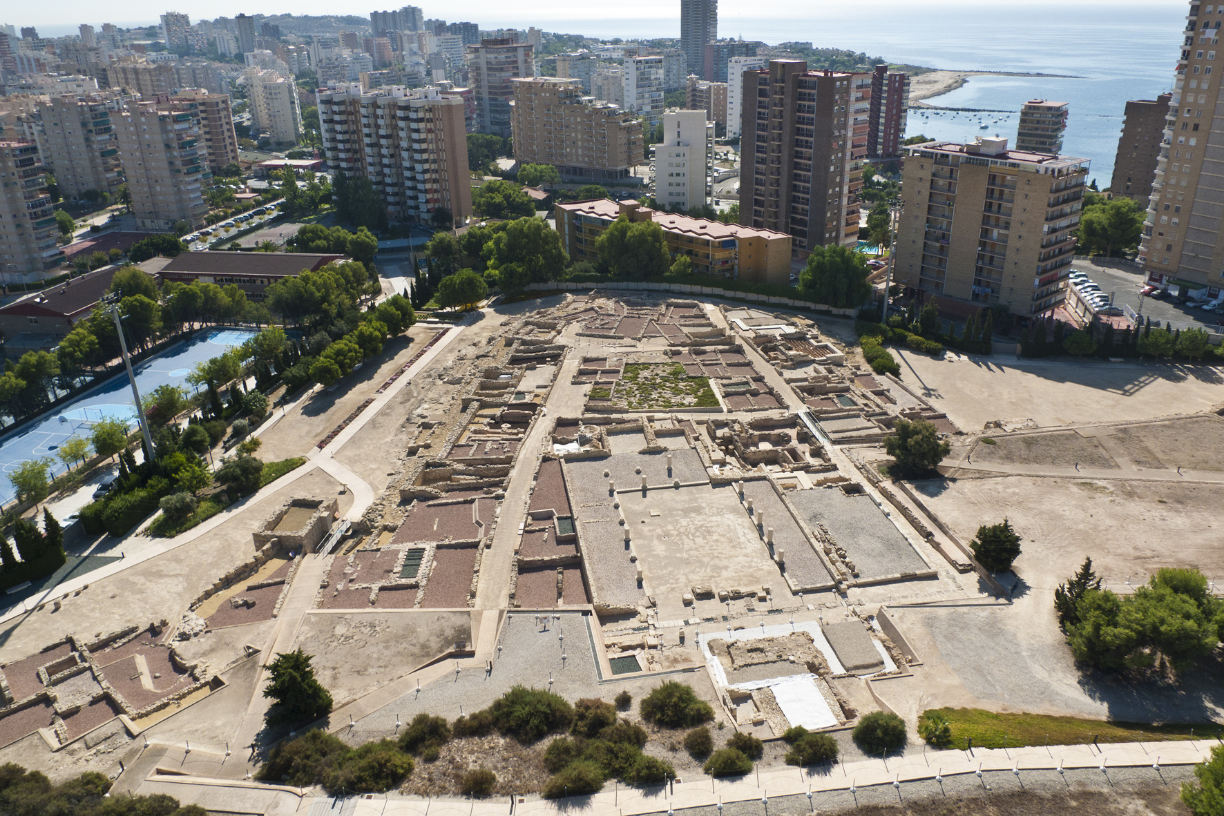
It is one of the most important archaeological sites in the Valencian Community, one of the few Roman cities known in depth, and was declared a Historic-Artistic Monument in 1961. At present, the entire urban area (around 25,000 m2) has been preserved intact, enclosed by a wall whose perimeter measures approximately 600 metres.
The origins of the settlement on the hill date back, according to the materials found, to the end of the 5th century BC or the beginning of the 4th century BC, although we know little about this first phase of occupation, which is doubtfully linked to only a few architectural remains. The panorama changed radically in the last third of the 3rd century BC, when a powerful fortification was built, completely surrounding the site, with towers and, in some sections, an outer wall, which changed the face of the site forever, determining the subsequent constructions and setting the perimeter of the later city.
TOSSAL DE MANISES
The Tossal de Manises is the site of the Roman city of Lucentum, the ancient city of Alicante, which probably developed from an Iberian settlement located on the top of the...
OPENING TIMES
FROM TUESDAY TO SATURDAY
From 10:00 a.m. to 2:00 p.m.
From 15:30 h to 17:30 h
SUNDAYS AND PUBLIC HOLIDAYS
From 10:00 to 14:00 H
MONDAY CLOSED
FROM TUESDAY TO FRIDAY: 12:00h
SATURDAYS: 12:00 and 16:00h
SUNDAYS AND PUBLIC HOLIDAYS: 12:00h
> Wear comfortable shoes and a cap/hat.
> It is suggested to bring a bottle of water and sun protection.
ILLETA
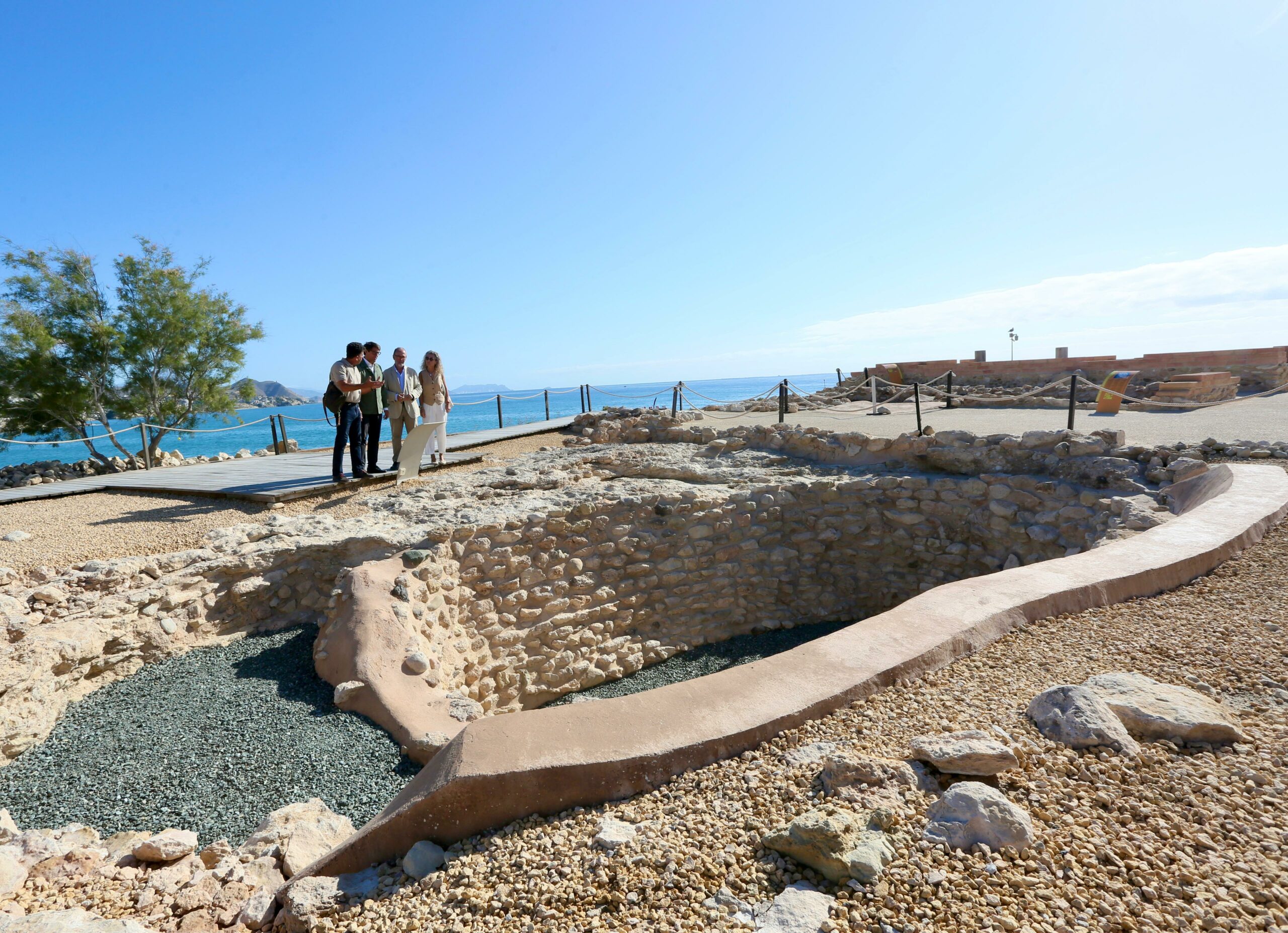
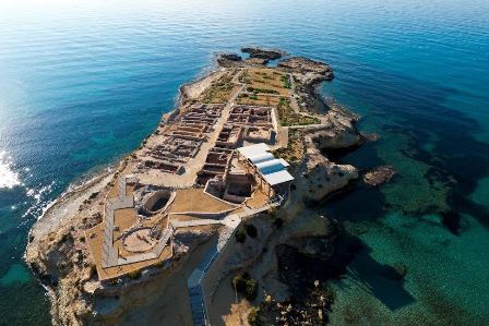
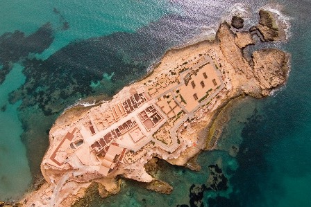
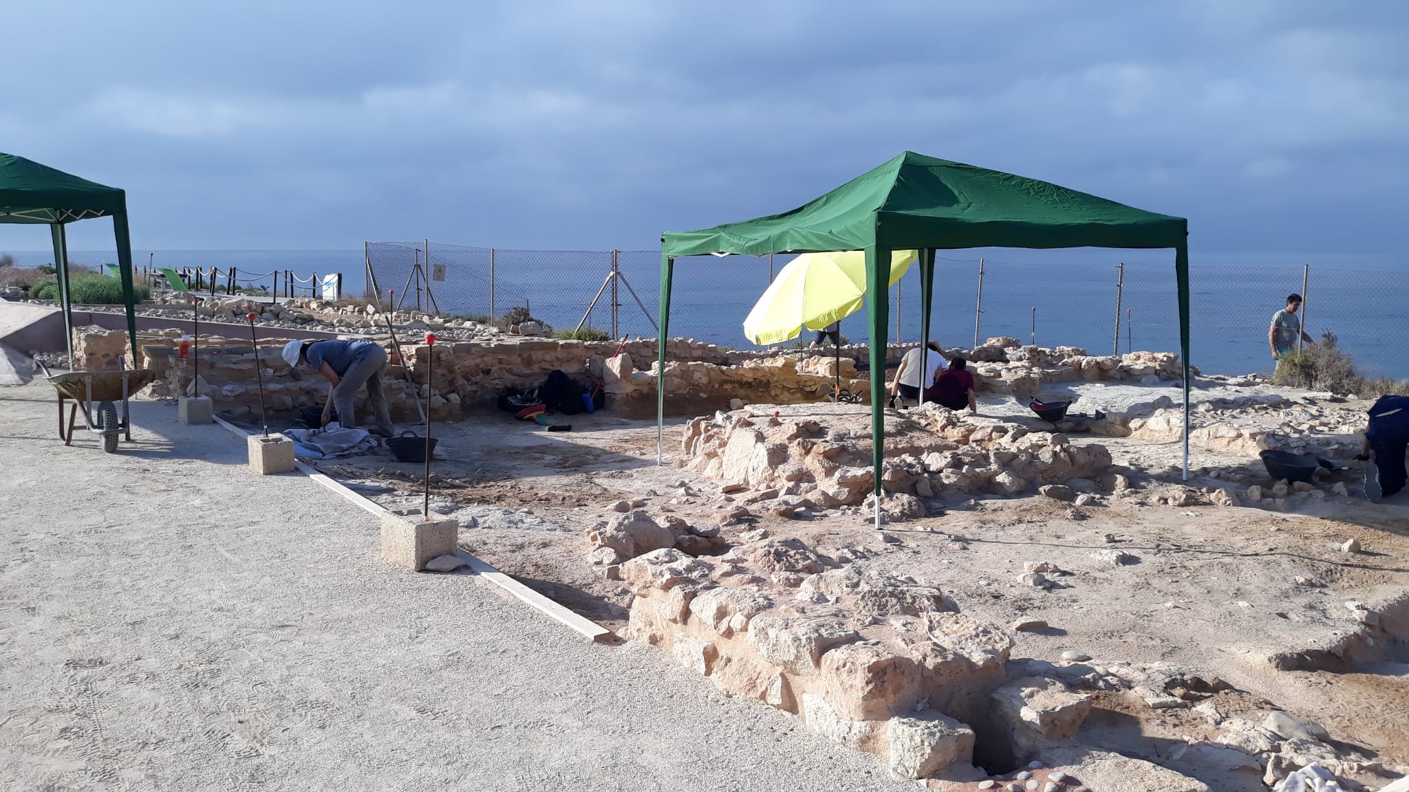
Currently, the Illeta dels Banyets is a long, narrow promontory with a surface area of 10,000 m², of which approximately 4,000 m² make up the archaeological site, with its highest point at 7.8 m above sea level. It is currently undergoing a period of consolidation of the constructive structures found in the excavations and museumisation so that it can be visited.
Despite its small size, this site is of great importance due to its broad cultural sequence, as remains from the Bronze Age have been identified here, prior to those that make up an Iberian settlement and those that remain of a Roman villa, as well as the presence of Islamic materials that tell us of a sporadic occupation in the Medieval Period. All of this shows that the Illeta dels Banyets was an important commercial port, from which both the sea routes and those leading inland were dominated.
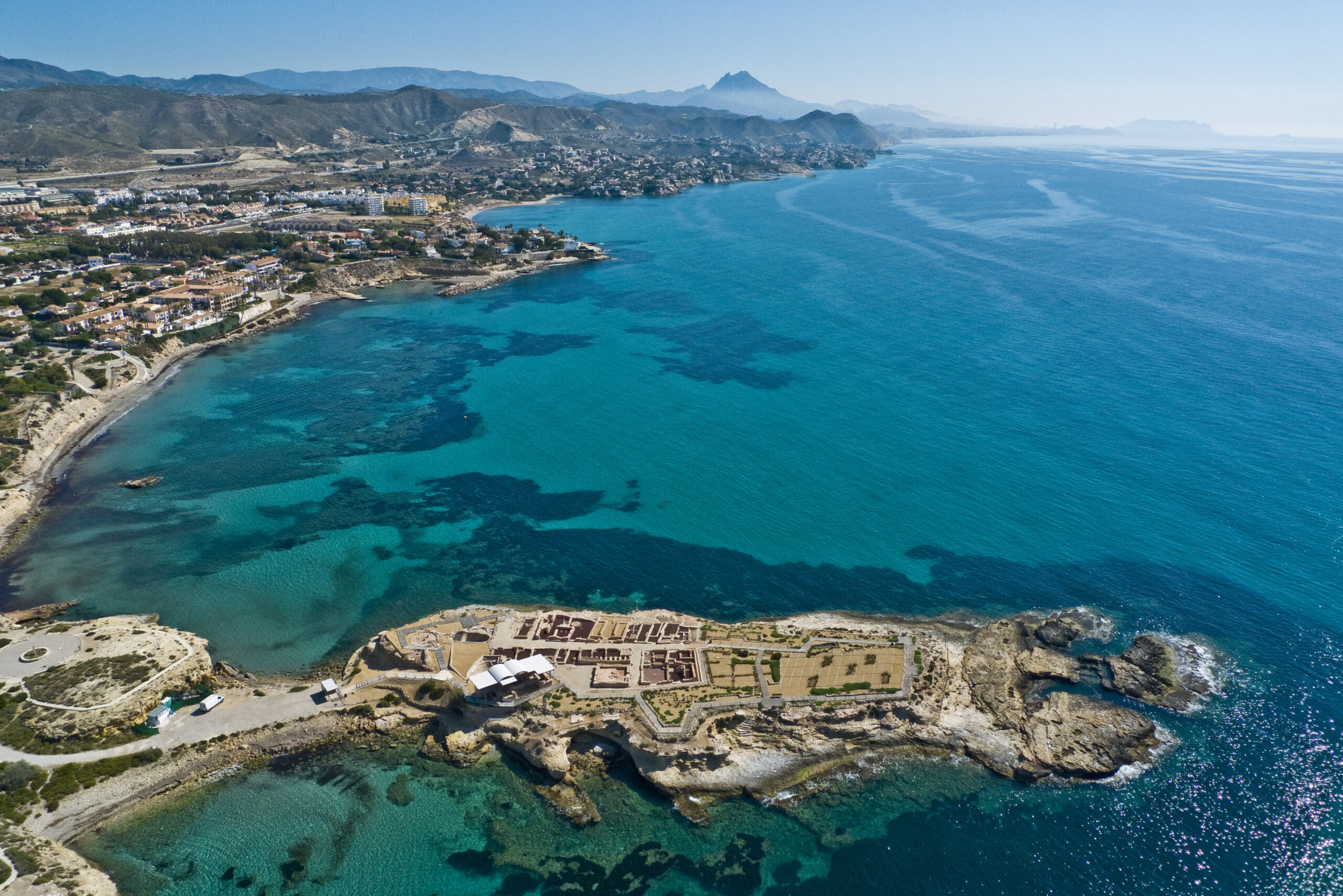
ILLETA DELS BANYETS
The Illeta dels Banyets is one of the longest known and excavated archaeological sites in Alicante. It is located in the municipality of Campello, in the...
OPENING TIMES
FROM TUESDAY TO SATURDAY
From 10:00 a.m. to 2:00 p.m.
From 15:30 h to 17:30 h
SUNDAYS AND PUBLIC HOLIDAYS
From 10:00 to 14:00 H
MONDAY CLOSED
FROM TUESDAY TO FRIDAY: 12:00h
SATURDAYS: 12:00 and 16:00h
SUNDAYS AND PUBLIC HOLIDAYS: 12:00h
> Wear comfortable shoes and a cap/hat.
> It is suggested to bring a bottle of water and sun protection.
PLA DE PETRACOS
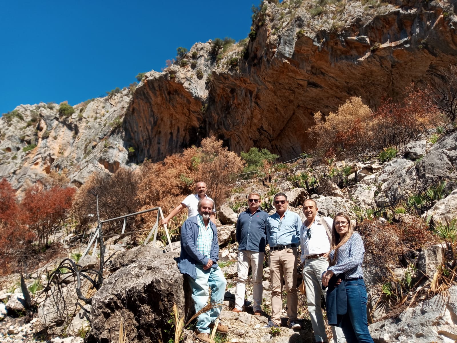
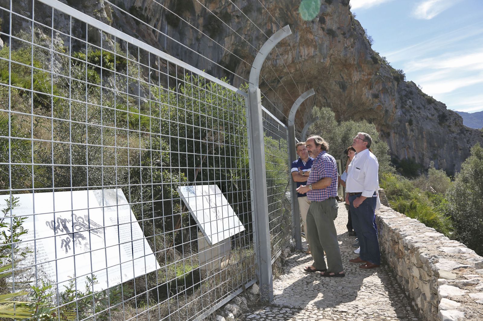
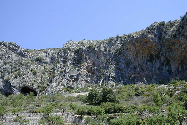
The Pla de Petracos site takes its name from the district where it is located. It is a group of shelters and a cave located on the left bank of the Barranc de Malafí, within a geographical framework that is delimited by the sea and the Aitana, Mariola and Benicadell mountain ranges. Access is via a track that starts at km 7 on the road from Benichembla to Castells de Castells, which connects the area where the site is located with the municipality of La Vall d'Ebo. The site is located at the geographical coordinates of 38º 45' 37" lat. N. and 0º 10' 59" long. W. Located at 485 m above sea level.
Discovered in 1980, it is made up of eight shelters, five of which have perfectly visible motifs painted in an intense red. Of these, four, which are close to each other, conserve representations ascribed to the so-called Macro-schematic Art, a manifestation linked to the earliest Neolithic, and another conserves part of a representation of Levantine Art, a manifestation chronologically later than those of Macro-schematic Art.
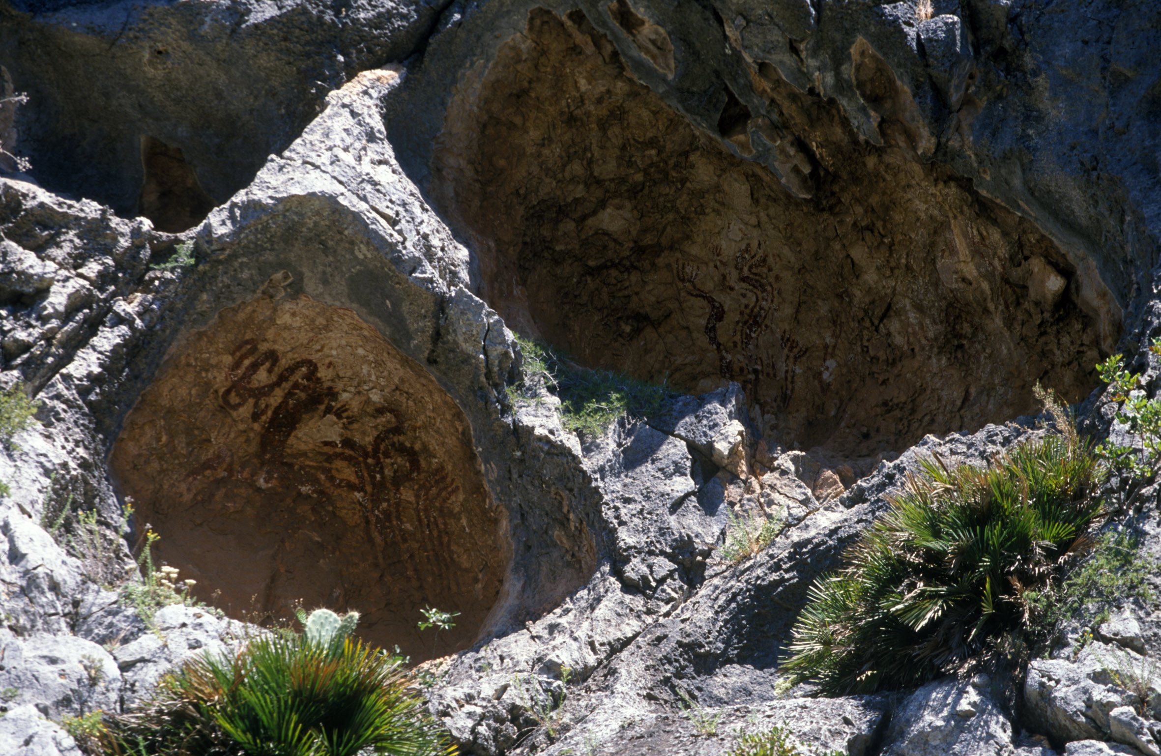
PLA DE PETRACOS
The Sanctuary of Pla de Petracos is one of the most outstanding examples of Macro-schematic Art in Europe and has been declared an Asset of Cultural Interest and a World Heritage Site....
WINTER TIMETABLE
Guided tours are temporarily suspended until further notice. FROM MONDAY TO FRIDAY FRIDAY AND SATURDAY SUNDAY
Visits by appointment only on tel: 965 518 067
From 11:00 to 13:00 and from 17:00 to 18:00h
CLOSED
> Wear comfortable shoes and a cap/hat.
> It is suggested to bring a bottle of water and sun protection.
COVA DE L'OR
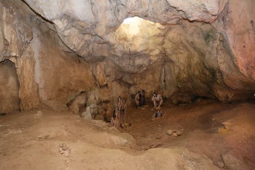
The material elements found in the Beniarrés cave testify to the importance of the occupation in the Ancient Neolithic period (5500-5000 BC), when the cave was an ideal place for habitation. The accumulations of wheat and barley seeds, typical of ancient cultivation, date from this period, the first practice of which dates back to the Near East. The observation of some burials, the quality of the materials and the abundance of roasted cereal for storage point to the cave and its immediate surroundings as a special place where ceremonies and rites could have taken place.
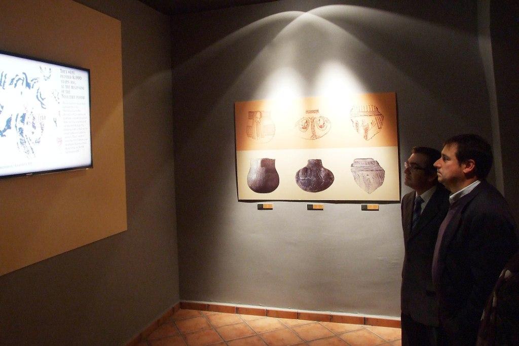
The ceramics printed with shells (cardial printing) date from this period, especially those whose decoration includes human figures with their arms raised, alone in a praying position, or in a group evoking a dance. The symbolism of this pottery is defined within the movable aspect of Macro-schematic Art, which links the cave to the Rock Art sanctuaries of that chronology, such as La Sarga (Alcoy) or the Pla de Petracos (Castell de Castells), and the Cova de l'Or may have participated in some kind of ritual cycle linked to these enclaves of meetings and encounters.
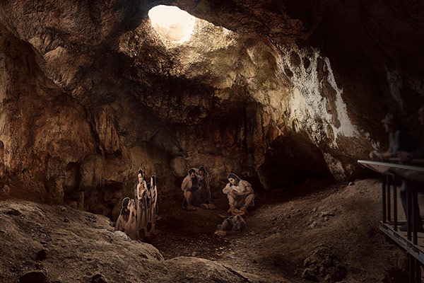
COVA DE L'OR
The Cova de l'Or in Beniarrés is located 675 m above sea level on the southern slope of the reliefs that make up the Benicadell mountain range. It contains an archaeological site of enormous importance for the knowledge and research of the Neolithic period on the Mediterranean façade of the Iberian Peninsula...
WINTER TIMETABLE
SATURDAY AND SUNDAY
From 9:00 a.m. to 2:00 p.m.
Departures to the cave, Saturday and Sunday: 09:00h and 11:30h.
> Wear comfortable shoes and a cap/hat.
> It is suggested to bring a bottle of water and sun protection.

